Severe Weather, Tornadoes Hit South Dakota on Sunday
While a good portion of the country was dealing with a hurricane, flooding, scorching heat, and fires, South Dakota was not left out of the severe weather.
At the start of the weekend, the Sioux Falls area was soaked with nice rain. Saturday was an ideal and much dryer-cooler day. Then it was time to charge up the skies again. This time in northcentral and northeastern South Dakota.

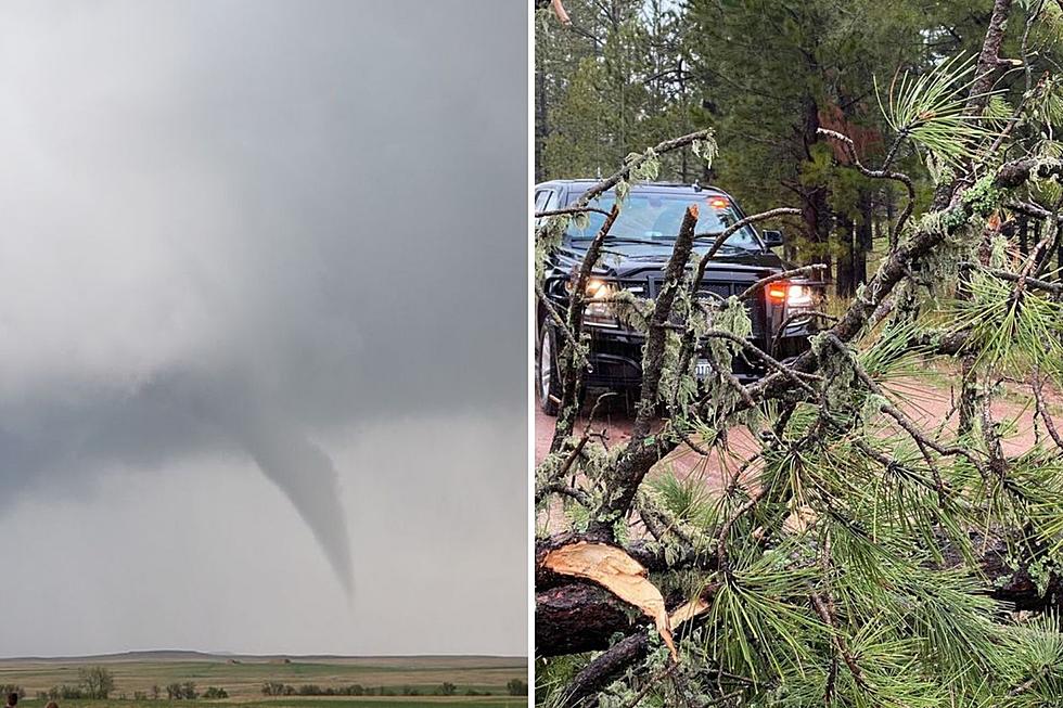
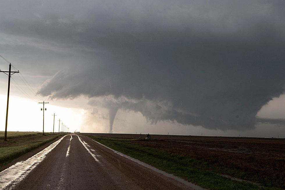
National Weather Service forecaster Mike Connolly said Sunday afternoon there were 75 MPH winds reported near Mina. And just north of Aberdeen 79 MPH winds were clocked. At Mansfield, baseball size hail was reported. Near Conde, a funnel cloud was sighted and a tornado around the Webster area.
LOOK: Here are the 10 US golf destinations with the most courses per capita
Gallery Credit: Michael Leonard
Rain measured over an inch along with Sunday's storms.
Connolly says there is an active weather pattern this week with isolated storms returning on Tuesday and throughout the rest of the week.
The Sioux Falls area will see its highest chance for rain again on Thursday.
LOOK: Here are the 10 US golf destinations with the most courses per capita
Gallery Credit: Michael Leonard
More From KYBB-FM / B102.7