Good Riddance April! Let’s Hope for Better Weather in May
At first glance, the 14th wettest April in Sioux Falls history doesn't seem like anything to be too concerned about. But when you consider what we endured weather-wise in the three months prior to that, it turned out to be a big deal indeed.
According to the National Weather Service, Sioux Falls finished April with just under five inches of precipitation - the most since 2006. But on top of what had already fallen in January, February, and March, it was unprecedented - nearly 11 inches since the start of 2019.
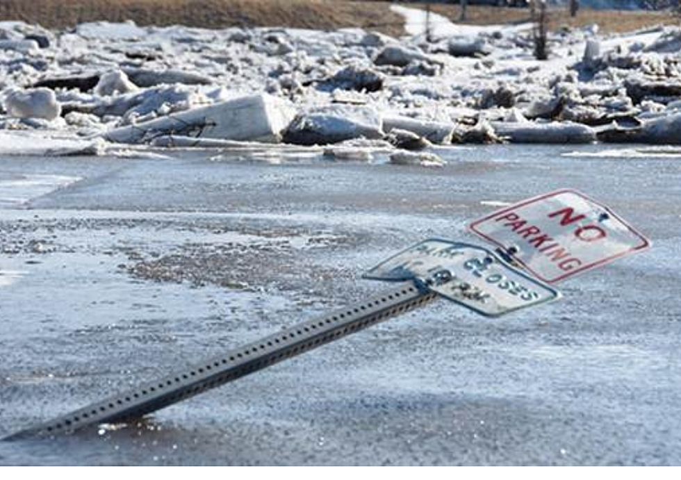
That coupled with March's 'bomb cyclone' which dumped heavy snow to the North of us and the rapid melting that followed led to flooding in parts of Sioux Falls that hadn't been seen in decades.
But it wasn't just Sioux Falls.
The Weather Channel says 42 locations set new record river levels, mainly in the Missouri Valley from Southeastern South Dakota into Nebraska and Western Iowa.
Meanwhile, April began with another system - Winter Storm Wesley - that brought record snowfall amounts to Watertown (25"), Huron (18"), and Mitchell (16.2").
The record precipitation in the area will be felt for quite some time as some fields still can't be accessed by farmers and some unpaved roads are still impassable.
Let's hope for much better things in May.
More From KYBB-FM / B102.7


