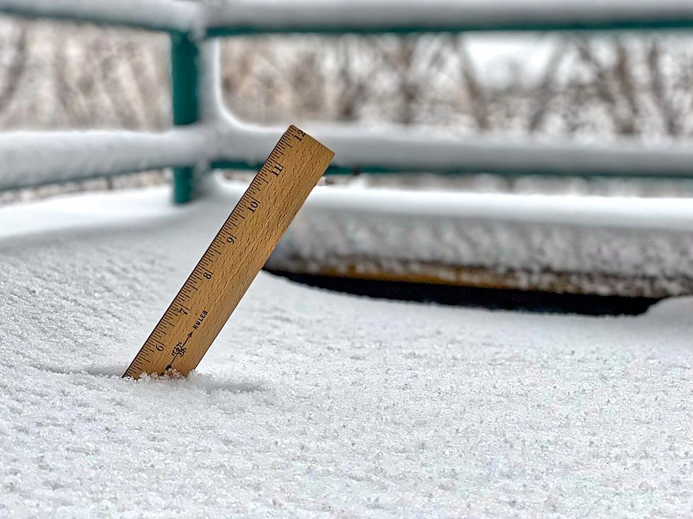
Tracking Spring Storm in South Dakota
A spring storm moving through the upper plains is bringing plenty of snow, rain, and winds through South Dakota Tuesday and Wednesday.
Freezing rain is falling around the Sioux Falls area this morning so our best tip is to get an early start to avoid heavy traffic and to plan on a little extra time to get to work and school.
Power lines and power outages were becoming more common as Tuesday morning is wearing on.
As the colder temperatures move in that rain will change over to snow late Tuesday and into Wednesday. The winds on Wednesday are expected to reach 35-40 mph which will create hazardous traveling conditions.
WINTER STORM WARNING REMAINS IN EFFECT UNTIL 1 AM CDT
THURSDAY...

* TIMING...FREEZING RAIN WILL BE PREVALENT THIS MORNING. THEN
  LATER THIS MORNING AND AFTERNOON...A WINTRY MIX OF LIGHT
  FREEZING RAIN AND SLEET SHOULD OCCUR...WHICH SHOULD TEMPER THE
  ICE ACCUMULATION. THERE IS UNCERTAINTY AS TO HOW QUICK THE
  WINTRY MIX WILL CHANGEOVER TO SNOW TONIGHT...OR IF IT WILL
  CHANGEOVER AT ALL. BUT BY WEDNESDAY...THE PRECIPITATION SHOULD
  BE ALL SNOW.

* ACCUMULATIONS...ICE ACCUMULATIONS TODAY AND TONIGHT WILL TOTAL
  UP TO A HALF INCH. THIS IS DEPENDENT ON HOW QUICKLY THE
  PRECIPITATION CHANGES TO OR MIXES WITH SLEET THIS
  AFTERNOON...AND IF IT CHANGES TO SNOW TONIGHT. ONCE THE SNOW
  BEGINS...5 TO 7 INCHES WILL BE COMMON WEDNESDAY AND WEDNESDAY
  NIGHT.

* WIND AND VISIBILITY...NORTH WINDS WILL AVERAGE 25 TO 35 MPH AND
  PERSIST THROUGH WEDNESDAY. ONCE PRECIPITATION CHANGES TO ALL
  SNOW...THESE WINDS COULD PRODUCE AREAS OF BLOWING SNOW REDUCING
  VISIBILITIES BELOW ONE MILE AT TIMES. IN ADDITION...WINDS OF
  THESE MAGNITUDES WILL CREATE STRESS ON POWER LINES CREATING
  POWER OUTAGES TODAY.
This is going to one of the best storms we've seen in quite a while. The next 24 to 36 hours are going to interesting. - Todd Heitkamp, National Weather Service
The latest accumulation models are showing that Sioux Falls is still on track for nearly 6" of snow. Although, that prediction amount varies every few hours. Other parts of South Dakota could see up to 16" of new snow.
WIND AND VISIBILITY...NORTH WINDS WILL INCREASE TO 25 TO 35 MPH
  AND PERSIST THROUGH WEDNESDAY. ONCE PRECIPITATION CHANGES TO
  ALL SNOW...THESE WINDS WILL PRODUCE WIDESPREAD BLOWING SNOW
  REDUCING VISIBILITIES BELOW ONE HALF MILE AT TIMES.
Tuesday morning showed snow-packed and drifting snow in the western part of the state while rain/freezing rain was beginning to fall in Sioux Falls.
The red area of this latest national Weather service map shows the intensity on mass of the latest storm system.
We will continue to update as the weather progresses through the day and evening as this spring storm is packing quite a bit of energy and precipitation. Drive safe.
More From KYBB-FM / B102.7


![Powerful Storm Knocks Train Off Bridge [VIDEO]](http://townsquare.media/site/486/files/2015/04/Train_on_bridge.png?w=980&q=75)

