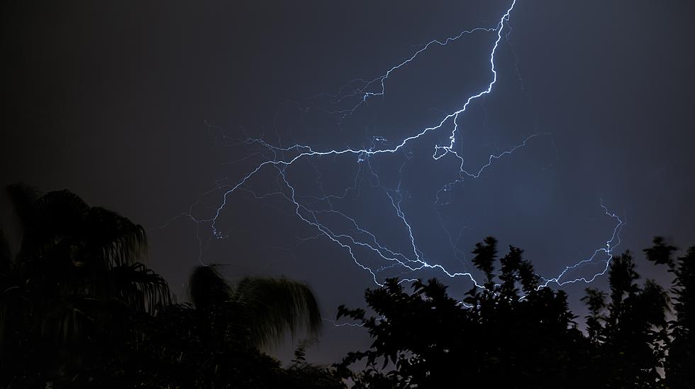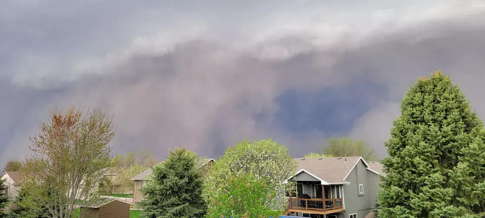
Potential For Severe Storms Wednesday for Sioux Falls
Sioux Falls is in the area of potentially severe thunderstorms for Wednesday, According to Dakota News Now. Most of the threat area lies northeast of us but does include Sioux Falls.
Dakota News Now Meteorologist Austin Haskins says Wednesday afternoon's forecast is a tricky one, and depends on what develops in the morning. "If we do see severe thunderstorms in the afternoon, the main hazards look to damaging winds that could be in excess of 60-80 mph, large hail up to the size of golf balls, and isolated tornadoes."
AccuWeather Meteorologist Matt Benz seems to agree, adding straight line winds of up to 80 mph are also possible.

"As of now, there is a level two out of five risk in place from Mitchell, Yankton, Watertown and points east with a level three out of five risk over towards Minneapolis and Albert Lea." ~ Dakota News Now Meteorologist Austin Haskins
One thing is certain: Much of the upper plains is in a severe drought situation and this system could bring much needed moisture.
Be prepared and be ready.
A poll of an undisclosed number of U.S. adults reveals how they answered the question: How prepared are you for a power outage at your home?
43% somewhat prepared
23% not very prepared
20% very prepared
8% not prepared at all
6% don't know
See the Signature Drinks From Every State
What Are the Signature Drinks From Every State?
50 of Your Favorite Retail Chains That No Longer Exist
KEEP READING: Here are 50 of your favorite retail chains that no longer exist
More From KYBB-FM / B102.7


