
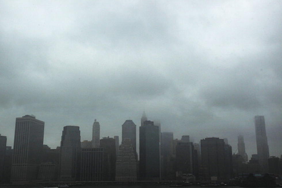
East Coast Watches Hurricane Sandy
WASHINGTON (AP) - Forecasters say there's still quite a bit of uncertainty about the path that will be taken by Hurricane Sandy.
It's heading north after causing widespread damage in the Caribbean. Meanwhile, a wintry storm is chugging across the country from the west. And frigid air is streaming south from Canada.
Forecasters say they could meet around New Jersey or New York on Tuesday morning, creating a meteorological mess.
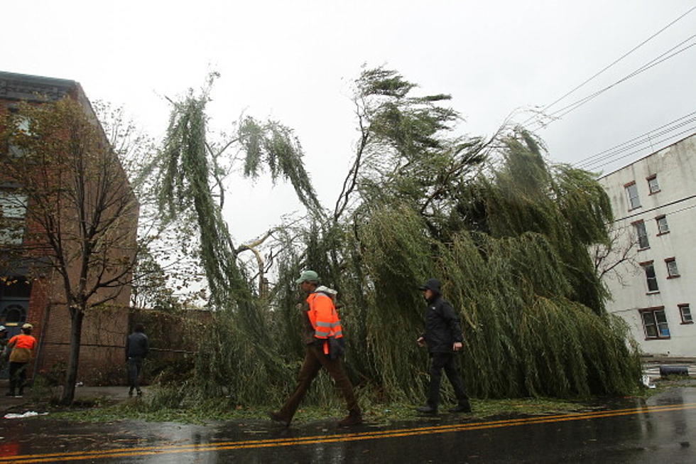
There could be heavy rain, high winds, flooding, tornados, coastal surges and possibly snow. Widespread power outages are possible. Utility companies are gearing up.
New York Gov. Andrew Cuomo has activated the state's emergency crews to monitor Hurricane Sandy as it works its way north. Cuomo is asking New Yorkers to monitor their TVs and radios for weather alerts.
Sandy weakened overnight to a Category 1 hurricane with sustained winds near 80 miles an hour. It's expected to remain a hurricane almost until it reaches the U.S. shoreline, probably early Tuesday.
Forecasters expect the East Coast to feel the effects starting Sunday and stretching past Wednesday.
Copyright 2012 by The Associated Press. All rights reserved. Material may not be redistributed.
More From KYBB-FM / B102.7


![Powerful Storm Knocks Train Off Bridge [VIDEO]](http://townsquare.media/site/486/files/2015/04/Train_on_bridge.png?w=980&q=75)


![Hurricane Sandy [PHOTOS]](http://townsquare.media/site/484/files/2012/10/154977320.jpg?w=980&q=75)