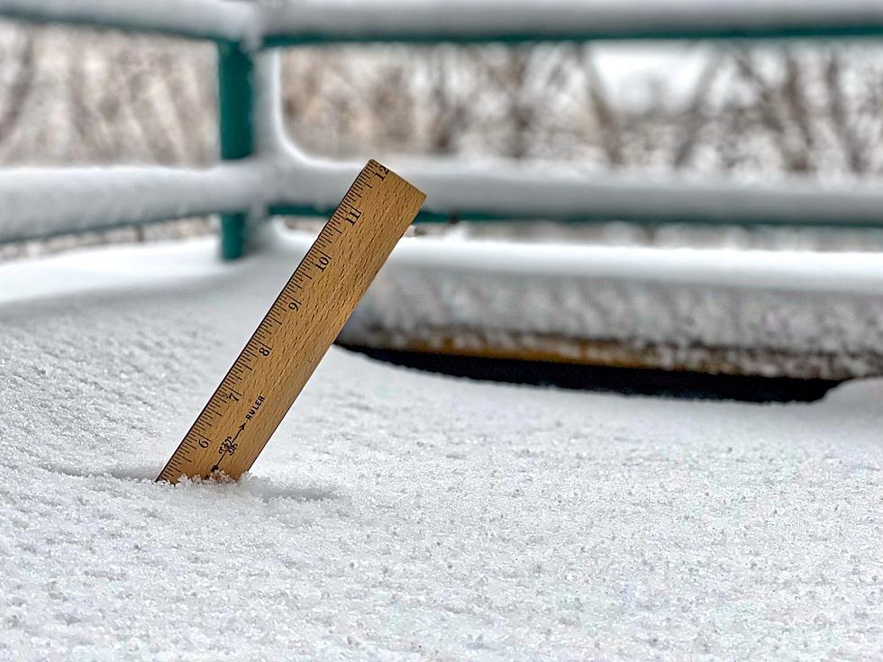
Snow Fall Amounts Around The Sioux Falls Area
The Sioux Falls tri-state area and much of South Dakota, Minnesota, Iowa, and Nebraska saw a winter storm move through on Sunday night into Monday. Some places saw more rain than they did snow, but other areas picked up some significant snowfall amounts.
Dakota New Now shared these Snowfall Reports:
- Brookings - 10.3''
- Madison – 8.5''
- Tea – 7.5''
- Sioux Falls – 6.3''
- Hull, IA – 5.0''
- Clark – 4.8''
- Aberdeen – 3.3''
- Edgerton, MN – 2.0''
The city of Sioux Falls is under a Snow Alert. Plowing of emergency snow routes has begun and will continue until routes are clear. All vehicles parked on emergency snow routes are subject to ticketing and towing.

The updated forecast from the National Weather Service in Sioux Falls says warmer temps are on the way!
Today: A slight chance of snow before 1 pm. Cloudy, with a high near 34. East wind 10 to 15 mph. The chance of precipitation is 20%.
Tonight: Cloudy, with a low around 27. East wind 5 to 10 mph.
Tuesday: A slight chance of snow after 1 pm. Cloudy, with a high near 37. East wind around 5 mph. The chance of precipitation is 20%.
Tuesday Night: A slight chance of rain before 7 pm. Mostly cloudy, with a low around 28. East northeast wind around 5 mph. The chance of precipitation is 10%.
Wednesday: Partly sunny, with a high near 40. Northeast wind 5 to 10 mph.
Wednesday Night: Mostly cloudy, with a low around 28. North wind around 10 mph.
Thursday: Partly sunny, with a high near 45.
Thursday Night: Partly cloudy, with a low around 28.
Friday: Mostly sunny, with a high near 50.
This Horrific Murderer is Buried In Sioux Falls
More From KYBB-FM / B102.7


