Helping Hand given to South Carolina from South Dakota
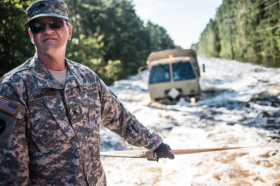
Flooding in South Carolina is so widespread even members of the Civil Air Patrol in South Dakota are aiding in the effort.
FEMA has asked for assistance from the Civil Air Patrol to help assess the damage from the flooding in the Palmetto state. Since crews cannot reach all the areas by land, Planes are criss-crossing the skies over South Carolina taking numerous images of the disaster area.
There are so many photos that Colonel John Seten Commander of the South Dakota Wing says the call for help is nationwide. “The way we are involved in South Dakota is (FEMA) has asked us and anybody that wants to do it log into that website look at the pictures. According to what we think the damage is we rate it as low, medium or high.”
Seten says this method of utilizing other agencies is called crowdsourcing and it allows FEMA to direct support into areas that may have been overlooked without the view from above. “It’s such a large-scale disaster they have to make sure that the rescue teams are going to the right places versus the areas that aren’t so badly damaged.”
A South Dakota comparison of what the damage Seten has witnessed in South Carolina would be the Missouri River flooding south of Gavins Point Dam in 2011. FEMA used the crowdsourcing model for the first time in the aftermath of Hurricane Sandy in November 2012.
More From KYBB-FM / B102.7