Current Sioux Falls Weather Trends Similar to Ice Storm Five Years Ago
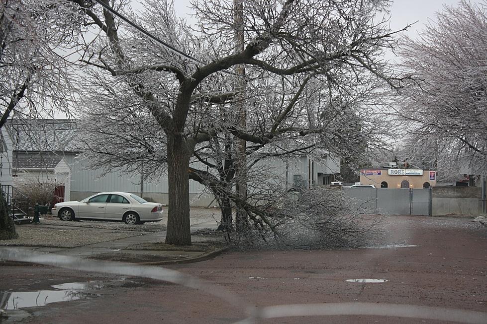
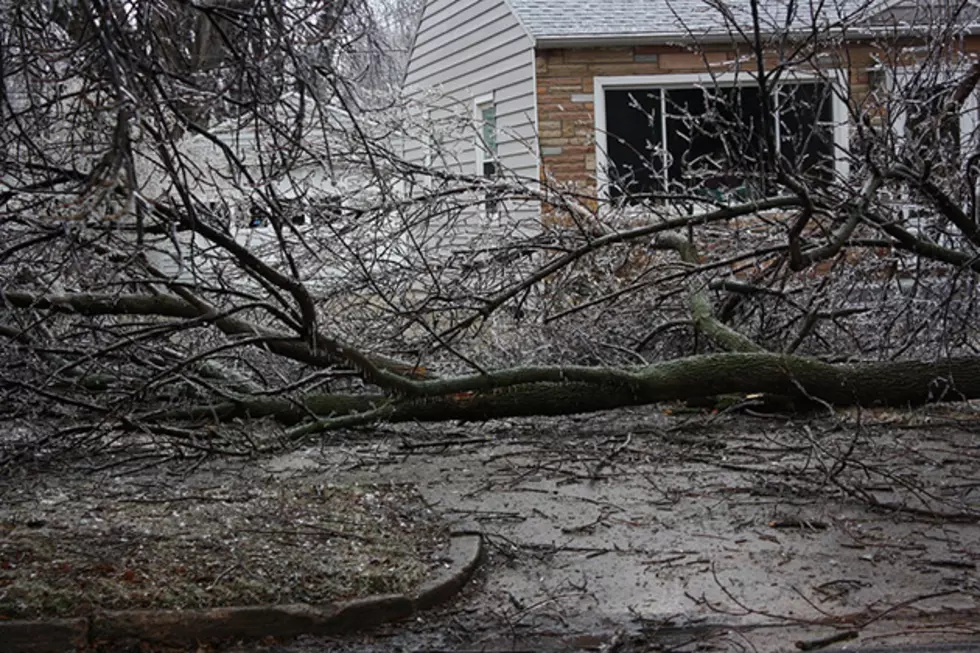
Certainly we remember the power outages and downed trees in Sioux Falls on April 9, 2013. Fast forward to April 9, 2018 and we get less damaging but interesting correlations.
Certainly the widespread devastation is a huge difference between then and now. Temperatures and precipitation levels though are pretty close.
On that fateful day, a record 1.42 inches of precipitation fell, much of it as ice plus 1.2 inches of snow. Also recall that 2.8 inches of snow fell on April 10, 2013 with 3.2 inches more snow April 11, 2013. That event also touched off 17 consecutive days of below normal temperatures.
Here are a couple more elements to consider from five years hence. April 2013 finished with 14.8 inches of snow and a record low maximum temperature of 34 degrees on April 23.
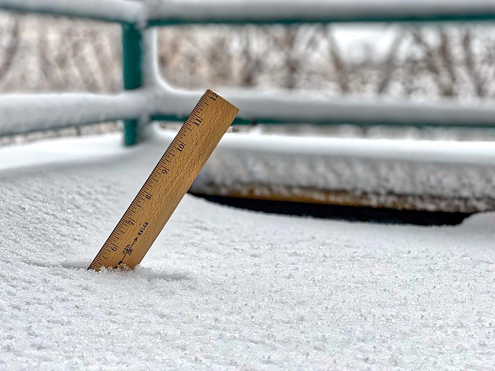
The April 2018 edition has 10.7 inches of snow and counting because another round of snow is lurking toward mid month. Additionally two temperature records have been reached: The National Weather Service in Sioux Falls indicated a record low of 5 degrees April 4, 2018 (tie) and a record low maximum 27 degrees April 6, 2018.
Take heart. One silver lining from that fateful month is that it eventually reached 85 degrees on April 28, 2013.
See Also:
More From KYBB-FM / B102.7


