South Dakota Prepares For Large Winter Storm

State officials are cautioning travelers that freezing rain, ice and snow in parts of South Dakota from Friday night through early Sunday morning could create difficult travel conditions.
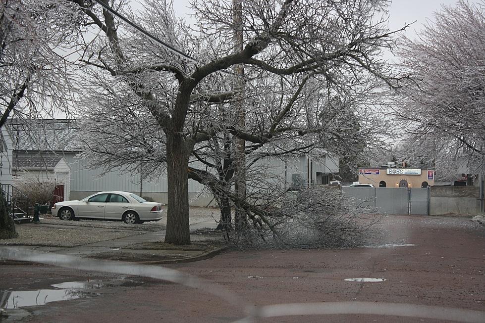
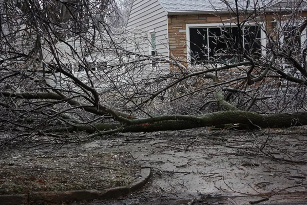
Weather forecasts show the greatest likelihood of significant ice accumulations is in northeastern South Dakota, along the Interstate 29 corridor from Watertown to the North Dakota border. Precipitation will change over to snow sometime Saturday with winds from 20 to 30 mph Saturday evening into Sunday.
South-central areas could receive some ice accumulations, as well as snowfall of two to five inches and winds from 20 to 30 mph with higher gusts.
Southeast areas will see rain changing over to snow Saturday afternoon with accumulations from two to six inches and winds from 25 to 35 mph with higher gusts. Specifically in Sioux Falls most of the precipitation will fall as rain, but eventually turning to snow overnight Saturday night into Sunday morning.
During the overnight hours tonight and through Sunday, motorists can expect icy and snow-packed roadways and possible blowing and drifting snow, especially at bridge ends and in sheltered areas.
Travelers attending the many weekend tournaments and other events should be alert to those changing conditions and be prepared to adjust travel plans if necessary. For up-to-date road conditions in South Dakota click here.
More From KYBB-FM / B102.7
![The Odd Lost and Found of the Buffalo Chip in Sturgis, South Dakota [PHOTOS]](http://townsquare.media/site/486/files/2022/08/attachment-Copy-of-Copy-of-Copy-of-Standard-1600x1067-49.jpg?w=980&q=75)